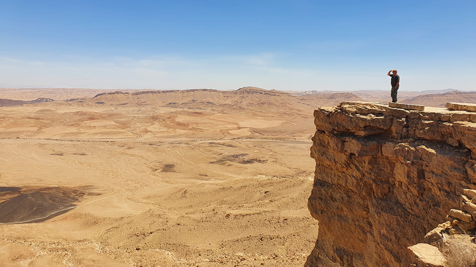
Makhtesh Ramon (Israel) is one of the largest eroded craters in the world, a natural phenomenon with huge basins opened up among the desert Negev ranges. It is situated in one of the driest areas of the world exposing fossils, volcanic cones, dykes, petrified coral reefs and a tremendous variety of minerals and rock outcrops. Today, Makhtesh Ramon is a national park that contains a variety of geological units including sandstone, iron oxide-rich rocks, gypsum, limestone, dolomite, clay minerals and plutonic crystalline rock units that, for the human eye, appears in fantastic red and yellow colours (see Image 1).
On the 8th of July 2022, the spaceborne hyperspectral sensor EnMAP took an image over the Makhtesh Ramon basin complemented by field measurements of scientists from the Remote Sensing Laboratory of the Tel-Aviv University. EnMAP’s eyesight goes beyond what the human eye can see (see Images 2 and 3 for different visualisations used to highlight the diversity of minerals and rocks) and enables it to distinguish between various minerals such as kaolinite, montmorillonite, gypsum, calcite and iron oxides. The two exemplary visualisations give a first glimpse of the rich information content one could retrieve from EnMAP.
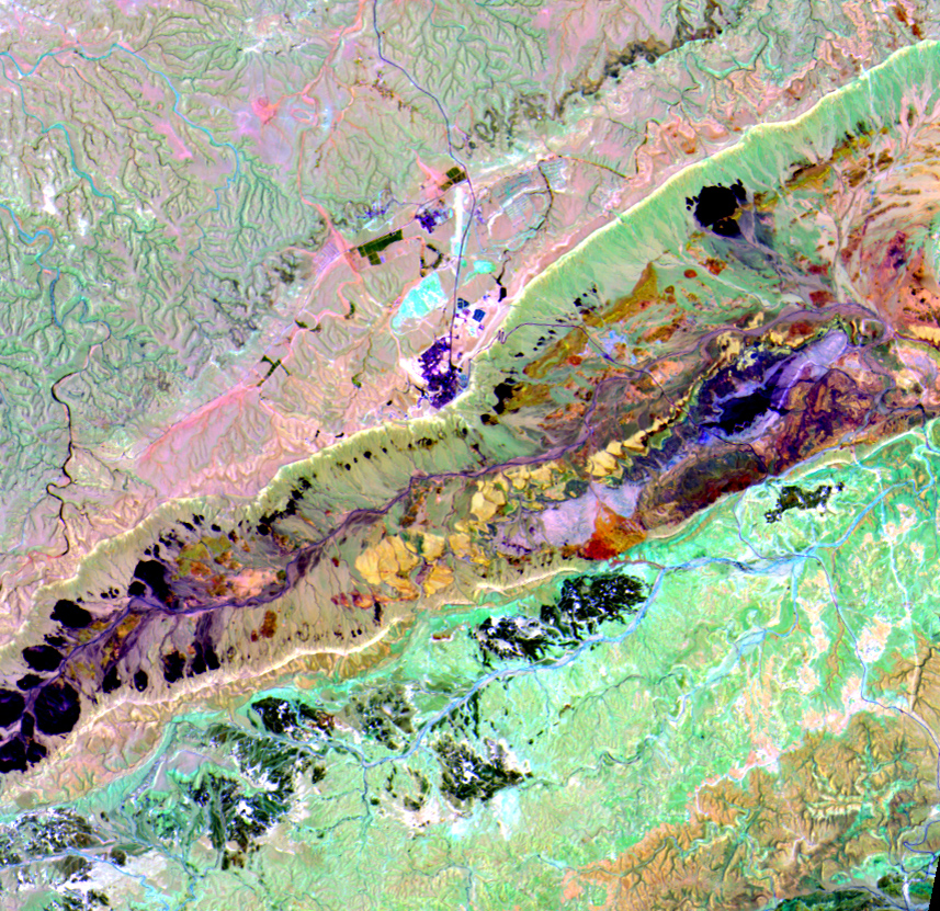
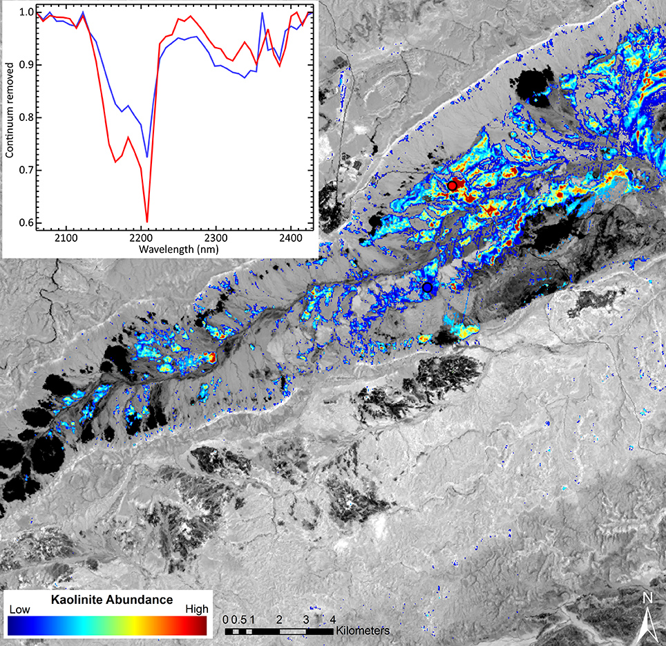
Makhtesh Ramon is one of the test sites of the EnMAP validation campaign used for validating EnMAP reflectance data products (Level 2A) due to its mineral and rock formation richness contained in a very small area of only 40 km x 7 km. EnMAP Level 2A data are processed by the German Aerospace Center (DLR) so that geometric distortions and atmospheric effects are removed (Image 2). This processing level will thus be one of the main products distributed amongst users and will be the basis for advanced information products by providing high-quality data throughout the mission lifetime. An example of the excellent data quality is given by the map of kaolinite abundances (Image 3) as an important component of geological mappings, which was processed by the German Research Centre for Geosciences (GFZ).