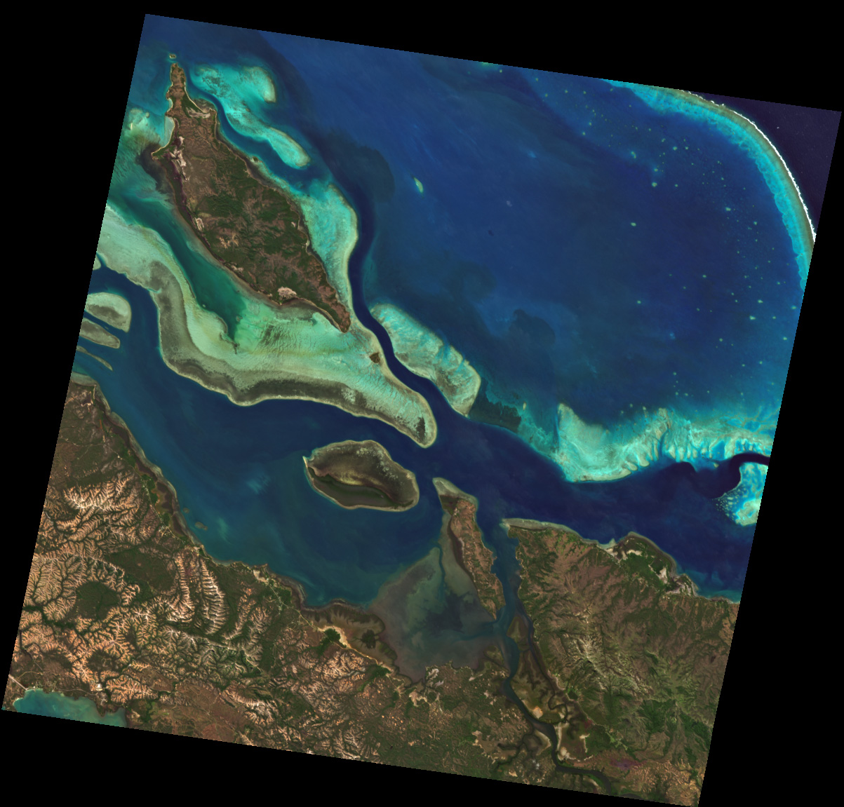
The scene covers the northern end of Grande Terre, the main island of New Caledonia (France). Bright turquoise reef flats and sand banks surround Île Balabio in the north and the elongated Île Pam near the centre, while the Diahot — New Caledonia's longest river — opens into the mangrove-fringed Baie d'Harcourt in front of the dry-season hills of Ouégoa. In the upper right, the outer barrier reef marks the transition from the shallow lagoon to the deep water of the Coral Sea. The region is part of the UNESCO listed New Caledonia lagoon system.
Location: 164d15'58.39''E, 20d10'57.44''S
2026/08/01, Band Combination: Natural color 45-28-9 = 647nm - 550nm - 459nm -- DT0000209366