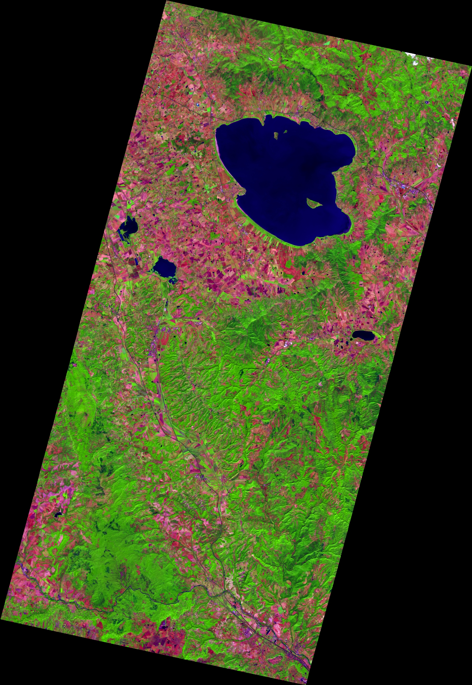
This EnMAP image shows Lake Trasimeno in central Italy, with its three islands, surrounded by a patchwork of fields and, to the south, by hilly, densely vegetated terrain. In this band combination, shades of purple and brown represent bare or harvested fields, while shades of green indicate vegetation. At about 124 km², Trasimeno is the largest lake in central and southern Italy, but on average it is only about 6 m deep. As a closed lake with no natural outflow, its water level varies with climatic conditions. The meso-eutrophic lake, whose eutrophication has been linked to agriculture in the surrounding landscape, is an important validation site for aquatic remote sensing applications.
Location: 12d 3' 8.33''E, 42d59'40.17''N
2026/09/01, Band Combination: 161-72-25 = 1728nm - 840nm - 535nm -- DT0000212522