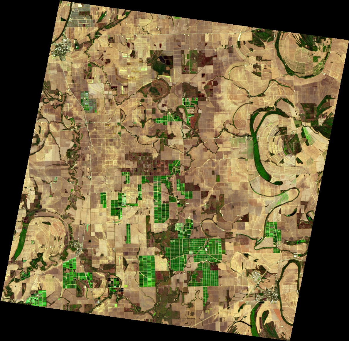
This EnMAP scene shows the Mississippi Delta between Ruleville, Sunflower and Itta Bena after the autumn harvest. Rivers, oxbow lakes and abandoned meander loops cross the flat alluvial plain, and curved patterns in the fields trace former river channels. The bright green rectangles are aquaculture ponds, typical of this major catfish-farming region of the United States. EnMAP’s hyperspectral data can show differences in pond water colour caused by algae or suspended particles, and can separate bare soil from crop residue.
Location: 90d25'42.89''W, 33d36'43.64''N
2026/11/06, Band Combination: Natural color 45-28-9 = 647nm - 550nm - 459nm -- DT0000225889